ArcGIS Enterprise : Comprehensive GIS Data Management Platform
ArcGIS Enterprise: in summary
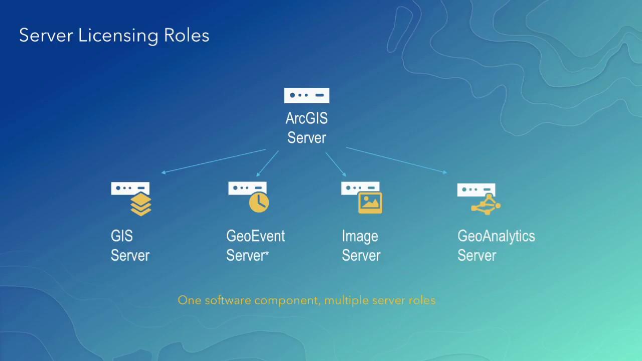
ArcGIS Enterprise is a robust GIS software designed for organizations needing to manage, analyze, and share geographic data across departments. Tailored for professionals in sectors like urban planning and natural resources, it features advanced spatial analytics, data integration, and real-time mapping, setting it apart from other solutions.
What are the main features of ArcGIS Enterprise?
Advanced Spatial Analytics
Unlock the power of your geographic data with ArcGIS Enterprise's advanced spatial analytics. This feature allows users to perform complex spatial analysis and modeling to extract meaningful insights from their data.
- Process and analyze large datasets efficiently.
- Access to a wide range of spatial analysis tools.
- Integrated machine learning capabilities for predictive analysis.
Seamless Data Integration
ArcGIS Enterprise supports seamless integration of various data types and formats, making it easy to bring all your geographic data together for a unified view.
- Import data from multiple sources and formats such as CAD, Excel, and more.
- Leverage web services and APIs for enhanced data interoperability.
- Build custom data workflows to suit organizational needs.
Real-Time Mapping and Collaboration
Improve operational efficiency with real-time mapping capabilities and collaboration tools. ArcGIS Enterprise enables users to visualize live data streams and collaborate effectively within teams.
- Streamline data updates with automatic synchronization.
- Facilitate team collaboration with shared maps and applications.
- Configure alerts and notifications for critical events.
Its benefits
Provided by SCC
ArcGIS Enterprise: its rates
Standard
Rate
On demand
Clients alternatives to ArcGIS Enterprise
GIS software for mapping and analyzing data with precision.
See more details See less details
Geoconcept provides accurate data visualization, customized map creation, and data analysis tools for businesses and organizations. Its advanced features enable users to create and manage data layers, perform spatial analysis, and optimize routing for transportation and logistics planning.
Read our analysis about GeoconceptGIS software for mapping and analyzing data. Customizable layers and tools for data visualization, spatial analysis, and collaboration.
See more details See less details
iHound is a powerful GIS tool that allows users to create custom maps and analyze data using a variety of tools. With customizable layers, data visualization, and spatial analysis capabilities, iHound provides a comprehensive solution for businesses and organizations looking to improve their data analysis and collaboration efforts.
Read our analysis about iHoundThis GIS software enables users to visualize, analyze and manage geographic data. It features advanced mapping tools, data importing/exporting, and customizable templates.
See more details See less details
With iRedistrict, users can create interactive maps, generate demographic reports, and perform spatial analysis. It allows for collaboration among team members and provides data security through user access controls. Its intuitive interface makes it easy for users to get started with GIS.
Read our analysis about iRedistrict Appvizer Community Reviews (0) The reviews left on Appvizer are verified by our team to ensure the authenticity of their submitters.
Write a review No reviews, be the first to submit yours.